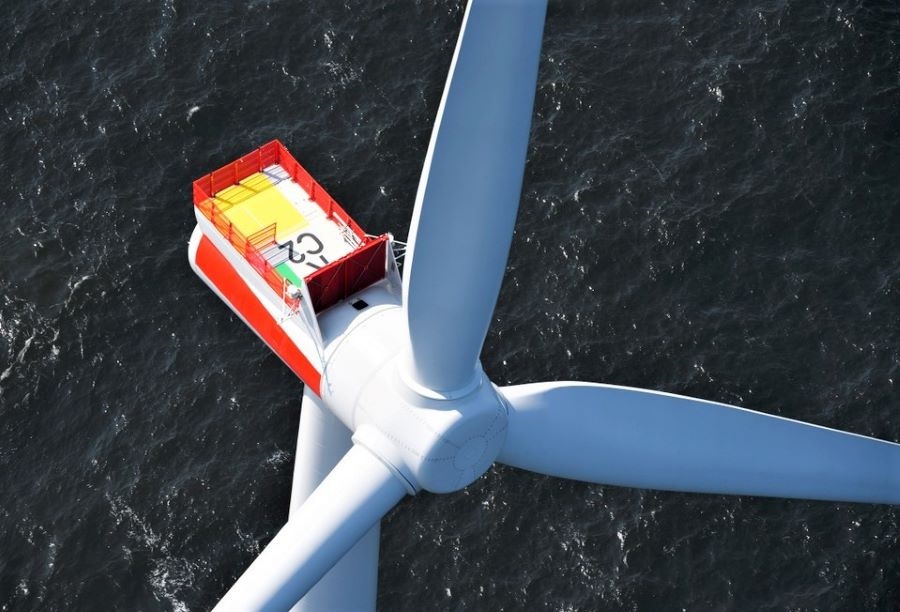


The most detailed data and statistics on global wind energy potential are now available online, thanks to a free resource launched by IRENA and the Technical University of Denmark (DTU). The Global Wind Atlas provides wind resource data at one-kilometre resolution. Prior to this release, global wind data was only publically available at 10-kilometre resolution or poorer, which resulted in underestimations, increased risk and increased costs for wind energy planners.
The Wind Atlas is the newest addition to the datasets available through IRENA’s Global Atlas, a renewable energy mapping tool. The dataset uses microscale modeling to capture wind speed variability on small scales, allowing for better estimates. When locating wind farms, developers naturally pick areas with the highest wind speeds. In datasets that provide average wind speeds over large areas, the enhancement of wind speeds due to small scale features such as hills and ridges are not captured, making the resource appear weaker than it actually is. The Wind Atlas can prevent this underestimation, provide visual maps showing wind speeds at three different heights, and also provide tools to generate and export data and statistics such as wind roses and wind speed distributions over a chosen area.
Access the Global Wind Atlas maps here and the new toolset here